DRONES, TOPOGRAPHY AND GEODESY, LIDAR


Drones, topography and geodesy, lidar
Client: Institute of Geodesy and Cartography
Location: Caribbean
Sector: Industrial
Typology: Drones, topography and geodesy
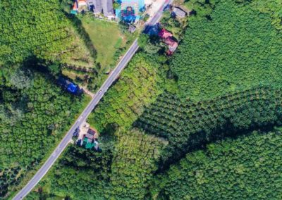
Scope: Supply of drones for topographic use (DJI Phantom, Mavic, Matrice). Training and technical support. Equipment used for monitoring the progress of works, review of electrical networks (high-voltage pylons) using thermographic cameras, status of bridges and other structures that are difficult to access. Use of LiDAR in forested areas with mining exploration applications.
RELATED PRODUCTS